
 No. Rek. 1781-2705-18 @Dodi Hidayat |
 No. Rek. 118-000-7389-603 @Dodi Hidayat |
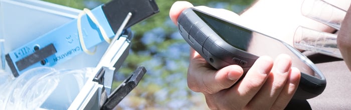
GPS GARMIN MONTERRA

GPS GARMIN MONTERRA
GPS Mapping Powerhouse with Android™
- 4" dual orientation, sunlight-readable, durable mineral glass display with multi-touch interface
- Get Android apps on Google Play™
- 8 megapixel autofocus camera and 1080p HD video with automatic geotagging, LED flash/torch
- High-sensitivity GPS/GLONASS receiver for better positioning
- 3D MapMerge™ for multiple maps in 3-D
Monterra
is a full-featured Wi-Fi® enabled GPS navigator that combines our
powerful mapping with the versatility of Android. Get Android apps for
Monterra on Google Play, including PeakFinder, star constellation charts
and ballistic calculator. Or access professional apps such as
construction estimators and ArcGIS® to extend your office to the field.
The rugged and durable Monterra has the power and flexibility to go
anywhere.
 3D MapMerge
Quality Photos
Powerful Battery, Beautiful Display
Get Your Bearings
Share Wirelessly
Load Maps and Geocaches
Radio
Plan Your Next Trip
Mount It Anywhere
Physical & Performance
| Physical dimensions | 2.9" x 5.9" x 1.4" (7.48 x 14.96 x 3.63 cm) |
|---|---|
| Display size | 2"W x 3.5"H (5.06 x 8.93 cm); 4" diag (10.2 cm) |
| Display resolution | 272 x 480 pixels |
| Display type | bright, transflective 65k color TFT, dual-orientation touchscreen; sunlight readable |
| Touchscreen | |
| Weight | 11.7 oz (331 g) with included lithium-ion battery pack; 13.2 oz (375 g) with 3 AA batteries (not included) |
| Battery type | rechargeable lithium-ion (included) or 3 AA batteries (not included); NiMH or Lithium recommended |
| Battery life | up to 16 hours (lithium-ion); up to 22 hours (AA batteries) |
| Water rating | IPX7 |
| High-sensitivity receiver | |
| Interface | High-speed USB |
| Camera | yes (8 megapixel with autofocus and 1080p/30fps video; LED flash; automatic geo-tagging) |
| Barometric altimeter | |
| Compass | Yes (tilt-compensated 3-axis) |
| Unit-to-unit transfer (shares data wirelessly with similar units) | |
Maps & Memory |
|
| Basemap | |
|---|---|
| Preloaded maps | yes (topographic), some models |
| Ability to add maps | |
| Memory/history | 6 GB (With Worldwide Basemap); 3 GB (With TOPO U.S. 100K Maps) |
| Accepts data cards | microSD™ card (not included) |
| Custom POIs (ability to add additional points of interest) | |
| Waypoints/favorites/locations | 4000 |
| Routes | 200 |
| Track log | 10,000 points, 200 saved tracks |
Outdoor Features |
|
| Automatic routing (turn by turn routing on roads) | Yes (with optional mapping for detailed roads) |
|---|---|
| Geocaching-friendly | Yes (Paperless) |
| Custom maps compatible | |
| Area calculation | |
| Picture viewer | |
Garmin Connect™ |
|
| Garmin Connect™ compatible (online community where you analyze, categorize and share data) | |
|---|---|
Additional |
|
| Additional |
|
|---|---|
Android and Google Play are trademarks of Google Inc.
No. Rek. 1781-2705-18 @Dodi Hidayat |
No. Rek. 118-000-7389-603 @Dodi Hidayat |
0 Komentar
Untuk Informasi harga dan stok anda bisa langsung hubungi 082217294199 email atantan.margasetia@gmail.com